Brewongle Environmental Education Centre

Explore, Experience, Discover

Telephone02 4579 1136

Emailbrewongle-e.school@det.nsw.edu.au

Investigating Science / Earth and Enviro Science

Sciences - AUSMAP citizen science with a depth study

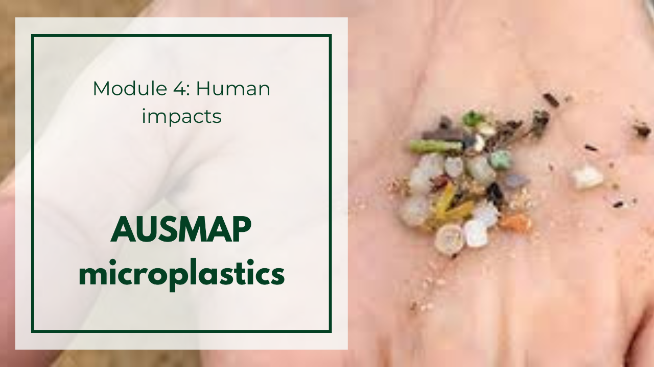
The Australian Microplastic Assessment Project is a national collaborative project, collecting invaluable data on the presence and type of microplastic in Australian waterways and oceans. Students will conduct fieldwork on microplastic, macrolitter and environmental parameters in the Hawkesbury River to add to the AUSMAP database. Complete units of work for Investigating Science and Earth and Environmental Science are available for this excursion. 

Download program documents:   

Brewongle is enabling students to partake in a national citizen science initiative to survey and map microplastics around Australia. Utilising the rigid AUSMAP methodology, you will collect and analyse microplastic samples from the beach at Macquarie Park in Windsor.

AUSMAP introduction video

Video length 1 minute and 41 seconds.

Before the Excursion

This fieldwork program can be part of either Investigating Science or Earth and Environmental Science. There are detailed units of work which have been written for both subjects. The unit PDFs can be downloaded below. There are hyperlinks within each of the parts which will take you to a downloadable student workbook.

Your Task: Work through Part 1 and Part 2 of the unit provided on the link below. Use the hyperlinks in the PDF to access information to assist in completing the tasks. The AUSMAP website may also be handy.

Stage 6 - Investigating Science Module 1 AUSMAP Unit

Stage 6 - Earth and Environmental Science Module 4 AUSMAP Unit

The Study Site

Please print and bring on the day the Student Worksheet

The short YouTube clip will give you a sneak peek into the scientific methodology and fieldwork tools you’ll be using on the day.

AUSMAP - Australian Microplastic Assessment Project video

Video length 1 minute and 2 seconds.

Your fieldwork will be conducted at Macquarie Park, Windsor. Upstream from Windsor, the Hawkesbury River and its tributaries flow through a large number of landscapes, each influencing its quality. These range from heavily vegetated natural areas, to heavily urbanised areas with numerous sewage treatment plants releasing treated effluent into the river.

An example of microplastic pollution in a creek flowing into the Hawkesbury just upstream from our fieldwork site can be seen in this Hawkesbury Gazette article.

Maps end here
Maps end here

After the Excursion

Your Task:

  • Follow the Reporting procedure on page 16 of the Fieldwork Guide to ensure AUSMAP can add your data to the national database.
  • Complete Parts 4 – 7 of the Unit.